Land & Asset Monitoring
Keeping track of what’s happening on the ground. We detect changes, flag anomalies, and help organisations stay on top of their physical assets — whether that’s land, infrastructure, or natural resources.
Apply Now
Coming Soon
Our Blogs
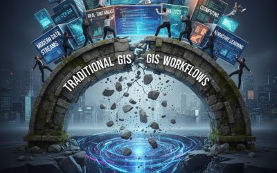
Why Traditional GIS Workflows Are Breaking Under Modern Pressure
The limits of traditional GIS in an AI-driven world Geographic Information Systems (GIS) have long been the foundation of spatial data analysis. From mapping assets to modelling environmental change, traditional GIS workflows helped organisations understand where...

What Comes Next for GIS Professionals in an Agentic World
Every major shift in GIS has raised the same quiet question: “Where does this leave me?” Agentic GeoAI is no different. But this time, the opportunity is larger than it looks. GIS is not being replaced Despite the noise, GIS expertise is not becoming less relevant. It...
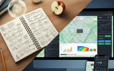
From Notebook to Application: Turning GeoAI Ideas into Real Tools
Many GeoAI ideas start life in a notebook. A few cells of Python. A map appears. The analysis works. And then… it stops there. This is where many promising GIS and GeoAI projects quietly fail — not because the analysis is wrong, but because the work never becomes...